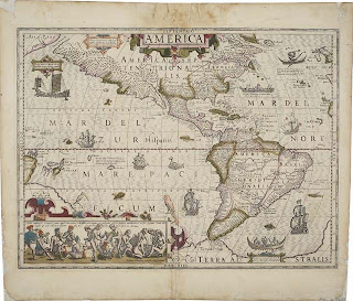
This is a mop. I mean map. Personally, I love maps. They are kind of amazing. From the old ones that were works of art full of sea monsters and dragons

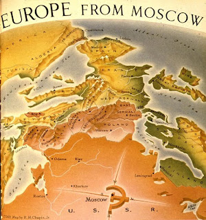
To the strange ones that show different perspectives

To the more politically motivated

Maps are a fascinating portrayal of how one person, country, whatever perceives the world around them, and likewise, can have a profound effect on how other people view the world. Larger scale maps cannot be truly accurate, which is fascinating. How pervasive is the sense that North is up? This has been throwing me lately because I always enter the PSU campus from the north, so my mental map of campus has south at the top of the map. This always makes looking at actual maps of campus really confusing. Did you know that north wasn't always at the top of the map. That convention started when sailors started using the North Star to navigate. Most maps before this placed East at the top. Orientation comes from Orient comes from Oriens, meaning East.
Anyway, about a month ago, I saw some gorgeous maps out in Pioneer Square. I wish I could have gotten some closer pictures, but my camera died. Using about 10 different flowers, a group had mapped out the world to celebrate the Festival of Flowers in June.


The Oregonian posted some pictures with a better vantage point.
Anyway, my classes just ended, so you can expect some more geography/planning nerdery to come. I've been pretty happy to dive back into maps.

Haha mops haha
ReplyDelete